20 May 2006

Stillwater Canyon Trip, Day 1

I've been spending too much time having adventures than writing about them, so I'm a bit behind. I have 5 more days of Austria to write about, and I just finished a 6 day trip in Canyonlands National Park. I'll try my best to write about them in tandem, but another backpack is planned for next weekend...

This particular trip was planned by my friend Mark Sigda. There were five of us: myself, Mark, Dave Johnson, Kevin McNinch, and Paul Jeffrey. Our trip was a flatwater canoe trip down the Green River- 55 miles through Canyonlands National Park.

All photos were taken with my Canon PowerShot S80 digital camera. This is the first major trip that I've shot completely with digital.

The first day was simply a drive to Moab with our two car caravan. We checked into our hotel, went grocery shopping, and then ate dinner and drank alot of beer. The next morning came early.... (to be continued)


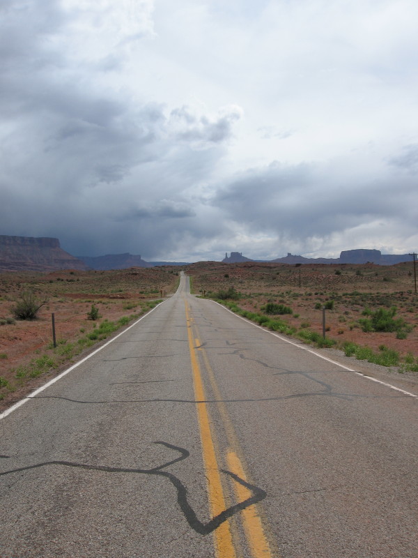
The Road to Moab

Austria Vacation Log: Day 12, The Alp (Post 2 of 2)

We showered and then met Christine and Jae-Young for dinner. They had met at the ice caves they had visited that afternoon. Young was Korean, about to start school in Paris as an exchange student. We went to the Gasthof Zauner, ivy-covered and very picturesque. The waiter, Mario, spoke excellent sarcastic English, and we had a great dinner together.

Mario (Photo credit: Christine Hoffman)

I had the “Gypsy Skewer”—chicken, sausage, steak, liver, and onions cooked on a skewer in a spicy sauce, with rice on the side. And of course several mugs of Kaiser beer, which turned out to be my favorite Austrian brew.

Young, Christine, Dorinna, and Rich at dinner (Photo credit: Mario)

Afterwards, we went to Ruth Zimmermann, the town bar. It was smoky, but filled with friendly drunk Austrians. We only had time for one drink before they closed at 11:00. Not much of a nightlife in Hallstatt… The hotel was locked up and the lights were out. We had a key, but it took a long time before our group of inebriated foreign tourists figured out how it worked (Dorinna got us in). We exchanged e-mails with each other, said our goodbyes, and ended the night.


Dorinna, Rich, and Young at Ruth Zimmermann's (photo credit: Christine Hoffman)


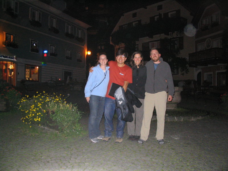
Group Shot in the Main Town Square (photo credit: Christine Hoffman)

Austria Vacation Log: Day 12, The Alp (Post 1 of 2)

We started off Day 12 by going grocery shopping. Hallstatt didn’t have supermarket per set, but we went to a bakery for breads and pastries, and then to a small deli for cheese. What we should have bought was another two or three water bottles, but instead we left for an all-day hike with under 1.5 quarts of water. Not the smartest plan, but we really didn’t have a firm destination in mind.

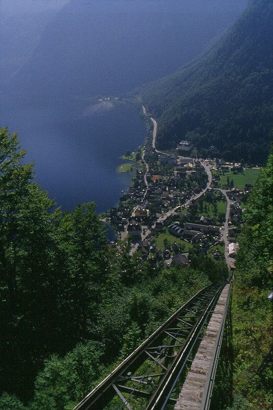
We started off by hiking European style- we took the funicular up from the village. In Europe, this isn't considered cheating!


From the top of the funicular, the trail followed a paved road, then a dirt road. Both roads climbed straight up the mountain. I was frankly surprised that cars could climb something so steep- there were lots of tire marks where cars had lost traction. Finally it got just too steep for anyone- and the road started making switchbacks. The trail, however, cut the corners and made officially marked anti-switchbacks, heading straight up the mountainside. The trails were somewhat maze-like and not particularly well marked. Or at least they didn’t match the cheap 1€ tourist map that I had with me.

Somewhere along the way, we decided that we would climb an Alp, a peak marked “Passen”. The trail finally left our last road behind and started to get interesting. The trail opened up and we got some views of craggy, crumbling cliffs.


Soon we hit an unmarked (on my map) trail junction and then met some Germanic hikers, who confirmed that we were on the right path- but that we still had 1-1.5 hours to go. Right after that we came across our first of two sets of cables and ropes bolted into the cliff. The climbing was hard but fun. We were both getting hungry and thirsty, but we pushed on to the summit, crowned with a cross. We ate our lunch, drank a few precious drops of water, then snapped a ton of pictures in the haze, and signed into the register.

Rich on the Summit


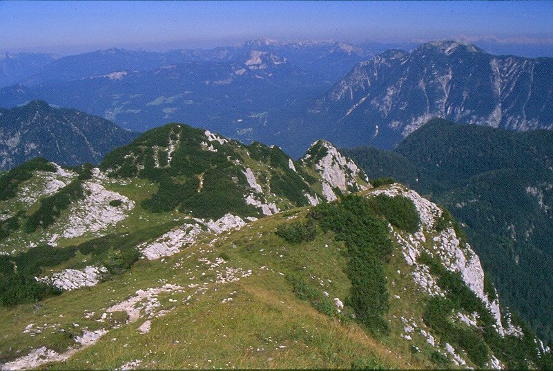
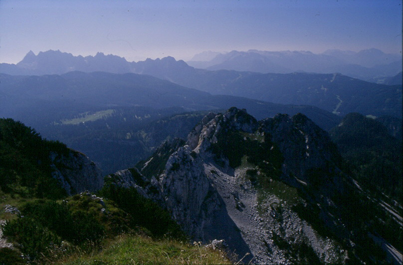
Views from the Summit

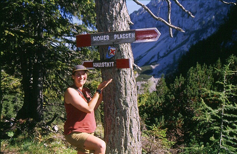
For the return trip we opted to take the longer loop around, since it had to be less steep… well, not really. Fairly quickly it plunged down a steep, wet gully with mud and small, loose rocks. The going was slow, and the lack of faith in the map didn’t help anything. Eventually though it started to get less steep, and we hit a trail junction clearly labeled “Hallstatt”.


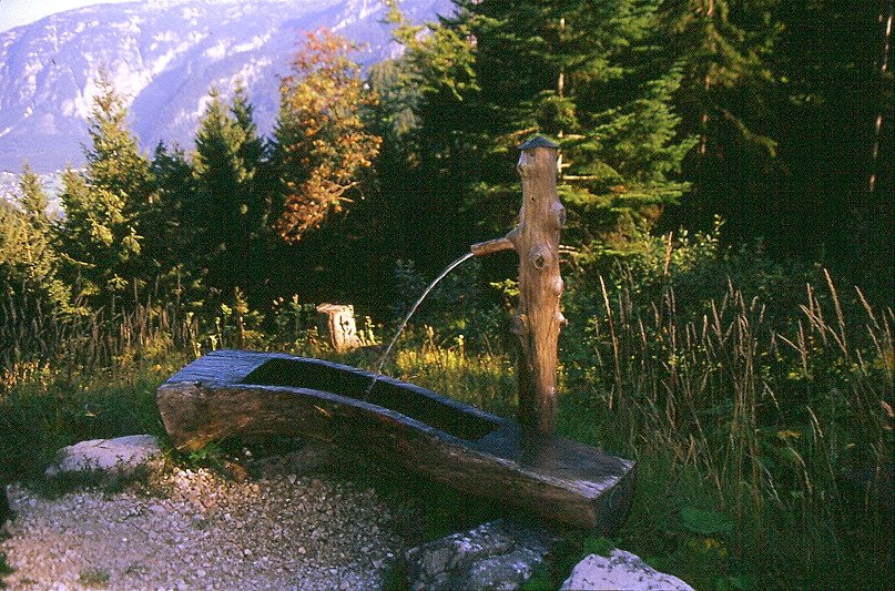
For a short time the trail went up and down small hills as it traversed across a notch. Finally, it dropped down the other side. We were rationing gulps of water at this point. We came out to a road and started following it down. I resorted to chewing gum just to keep some moisture in my mouth. We hit familiar terrain and the grade steepened again. We had about 2 sips of water left when we came across a spring of sorts- a wooden post with water gushing out of a pipe. Risk be damned- not seeing a “Kein Drinkwasser” sign around we drank and drank and drank, ate a snack, and then drank some more. I estimate that about half of the water that I drank on the entire hike was from this single spring. Plus I drank more on the way home than I did on the hike up, and we were an hour from home. The funicular was closed, so we took the trail that switchbacked down to the Catholic Church. We were jubilant when we returned to town at 6:00 pm.


Salvation!


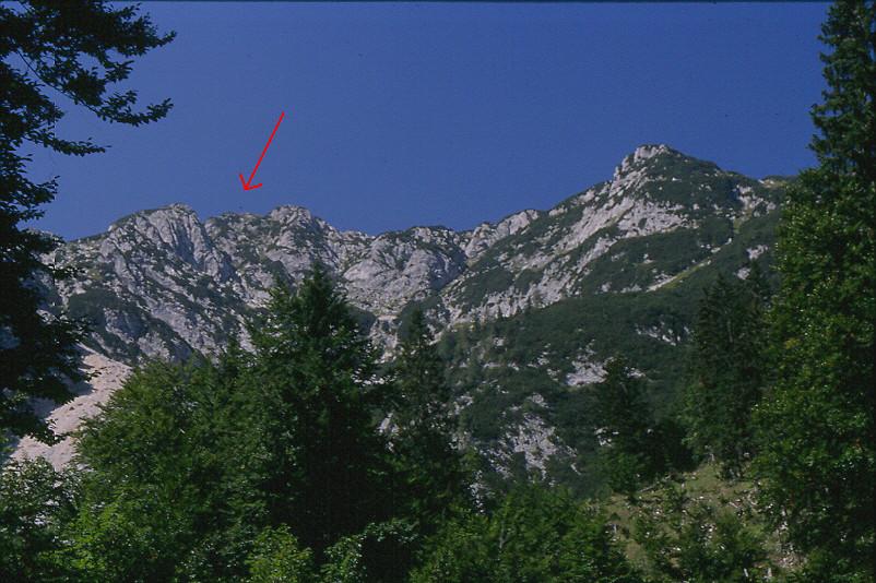
The Plassen - red arrow points to the summit cross

05 May 2006

Austria Vacation Log: Day 11, Hallstatt

Over three months since my last Austria post? How did that happen?

Our day started looking for the bus station. We found the place where were supposed to buy tickets, waited in line for a very long time, and then were told to buy tickets on the bus. We wandered around looking for the correct bus stop in Mirabell Platz. I asked a tour operator, and we finally crossed the road and found the correct spot. I bought tickets from the bus driver. This was our nicest European bus experience. We took the back row to ourselves and spread out our luggage. The trip was pretty, through a series of lake towns. We made about 500 stops unfortunately. The bus dropped us off right in front of the train station at Bad Ischl. We waited a few minutes before boarding the slightly early train. It was a very pleasant train, passing through a number of very pretty lake towns, some with paragliders. After a while, I checked our progress on the map. Oops.

A couple of questions (in German) to the German woman across the row confirmed that we had gone the wrong direction from Bad Ischl. We got off at the next stop, and only had to wait about 10 minutes for the next train. Thankfully the conductor never made it to us before we got off, but our friend across the row offered to explain our predicament if he asked.

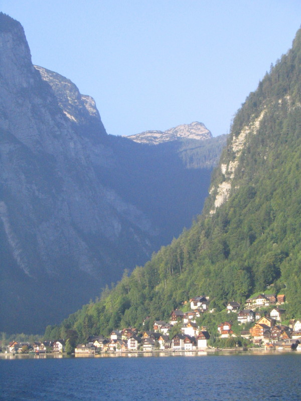
Going the right direction now, the scenery was just as nice. Once we reached Hallstatt, it was a short walk down to the water. Hallstatt is squeezed between a lake, the Hallstatter See, and a mountain. There isn’t enough room for a train station, so the train station is on the other side of the lake.


Hallstatt (photo credit: Christine Hoffman)


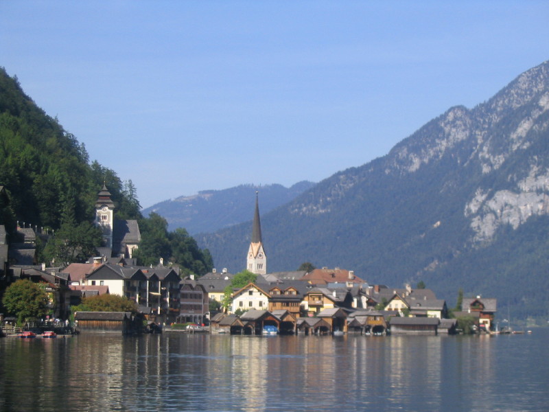
Village of Hallstatt (Photo credit: Christine Hoffman)


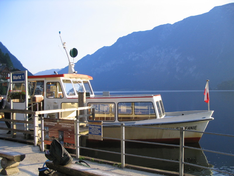
Ferry to Hallstatt from the Train Station (Photo credit: Christine Hoffman)

A few minutes later and the tiny ferryboat arrived. We arrived in the village and walked through it to our hotel. We stayed at the Bräugasthof . This former brewery was built in 1472, with an older section of the building built in the 1380s. This place had serious character- every step made the whole building creak. Our room, the nicest room of our vacation, was just gorgeous- hardwood floors with throw rugs and old antique furniture (the wardrobe was dated 1833). Outside was a deck overlooking the lake, complete with colorful flower boxes, a little table, and two chairs. Of course, the room had modern plumbing and electricity. One of the things I noticed the most was the sheer size of the wood planks and beams that were used to put this thing together. You can’t buy wood that big anymore.


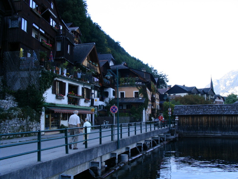
Main street in Hallstatt. Our hotel is the pink building. (Photo credit: Christine Hoffman)

We cleaned up, and then set out to explore the town. The guidebook said it would take 10 minutes, but it might have been 12 or 15. We got ice cream and pastries for lunch, then spotted a young American woman carrying an identical set of pages ripped out from the Rick Steve’s guidebook. She came over to say hello and introduce herself. Her name was Christine, she lives in Washington, and was on an extended solo tour of Europe.

We checked out the Catholic Church, reached by walking up the street- street here being defined as a covered stairway. The cemetery was reminiscent of St. Peter’s in Salzburg. They don’t have much room in Hallstatt, so after a few years they dig up the bones and display them in the adjacent Beinhaus. This was also pretty cool- cool being defined as a small, confined, and creepy room filled with bones and painted skulls.


Downtown Hallstatt from near the Catholic Church (Photo credit: Christine Hoffman)

Our next stop was a small village history museum. Dorinna liked it, but I thought it was pretty cheesy- highlighting historical events of Hallstatt such as a landslide, and a fire that destroyed 30 homes. The landslide was simulated by being on a little wooden bridge that shook back and forth as the movie played, showing fake trees tumbling over. And the fire was demonstrated with a wall of red lights that flickered over a picture of the city while a sound best described as “eggs frying” played on the loudspeaker.

Finally it was over, and we got to sit on the hotel balcony, listen to iPods, and relax. As we got ready to go to dinner I spotted Christine walking by. I yelled to her from the balcony and invited her to join us for dinner. We all started with a wonderful cheese soup, served from a communal crock. I got a fairly lame smoked trout salad. At least the fish came from the lake a few feet away. I ended up eating some of Christine’s breaded trout, which was better. I also drank some fairly mediocre local beer. The dinner ended on a good note though, with our first taste of Sachertorte. We talked late into the night. Christine really liked Prague- definitely on our list.


Christine at dinner (Photo Credit: Christine Hoffman)

Special thanks to Christine for providing the photos for this post!

29 April 2006

First Photo of Jack Lucas


Jack Lucas Linder

27 April 2006

New Nephew!

Jack Lucas Linder was born at 1:00am this morning. 7 pounds, 15 ounces. He's my first nephew. I'll post some pictures when I get some.

23 April 2006

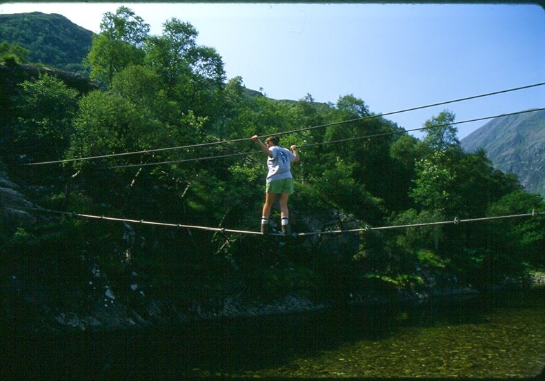
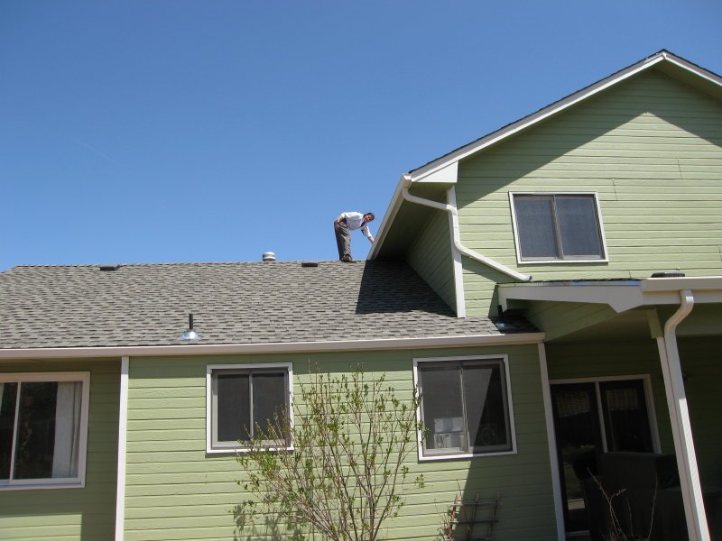
Dorinna's Love of Heights

Today's silly post...

Here's Dorinna, crossing a cable bridge in 1999:


Here's Dorinna, replacing house screens in 2006:

Spring Skiing at Loveland

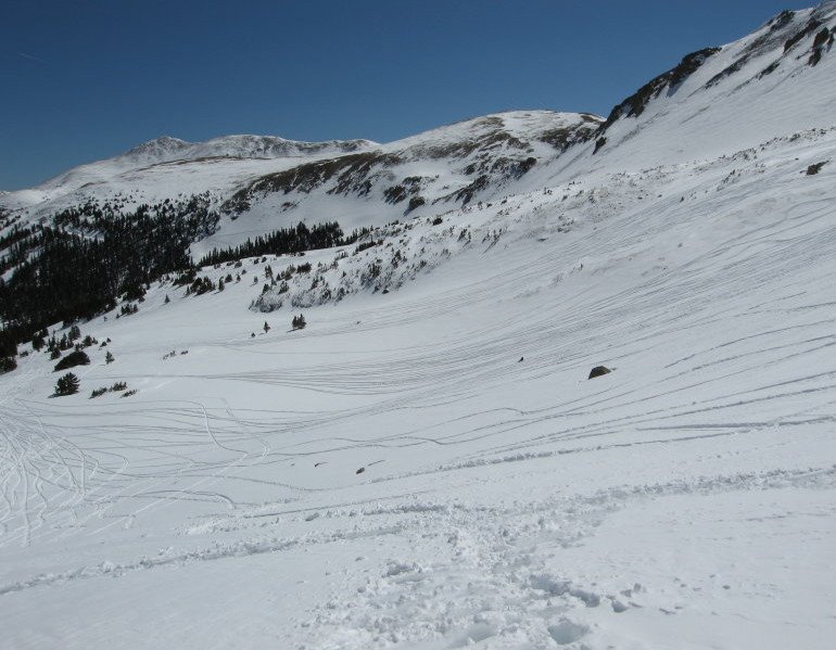
Two weeks ago Dorinna and I had some fun spring skiing at Loveland. The mountains had a major storm a few days earlier, so early in the morning we found a few turns worth of knee-deep powder:


Later in the day the snow softened up a bit, but the top is over 13,000', and even the base is at a pretty high 10,600'.

Sunshine, no lift lines, cheap tickets, you just can't go wrong spring skiing in Colorado...


View from the top of Lift 1

Greyrock Mountain Adventure (Post 2 of 2)

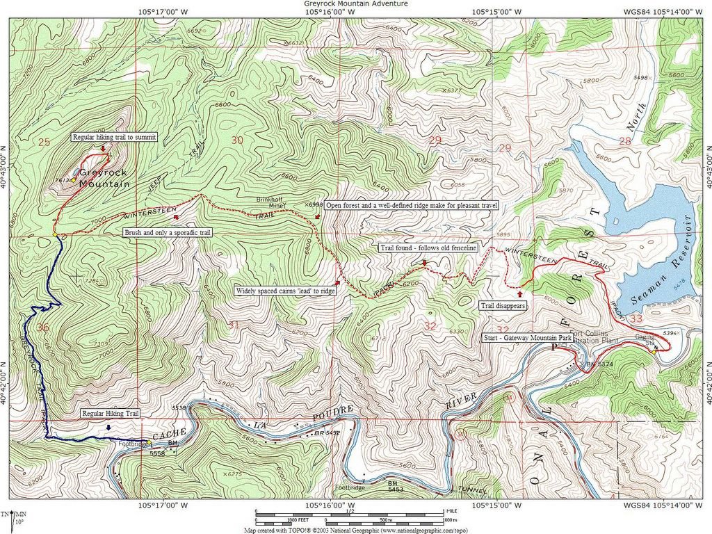
Here is a map that shows our route from the previous post. Our path is marked with a red line, with the dashed lines indicating sections that didn't have a reliable trail. You can click on the picture to get a bigger view.

Greyrock Mountain Adventure (Post 1 of 2)

I almost forgot to blog about the most adventurous trip of the year (so far). Back on April 3rd, I took a vacation day to do another trip with my visiting friend Bruce. He had skiied 2 days in a row, so we decided to take a hike. I decided on Greyrock- but with a twist. Greyrock mountain is a local's favorite, with a well-marked trail leaving from a busy trailhead in Poudre Canyon. But like I said- this hike had a twist. Old USGS topo maps show a second trail climbing up Greyrock, starting from what is now Gateway Mountain Park. Recent maps do not show this trail, but I suspected that there might be some traces of it remaining. Bruce is kind of a "off-the-beaten-track" kind of guy to begin with, so it seemed like a great plan.

The first few miles were easy. We started with a short walk down a dirt road which led to Seaman reservoir. We were pleasantly surprised to find a well-defined path around the west side of the reservoir, and even a bridge over the North Fork of the Poudre River. At just about the right place, another well-defined, albeit not officially marked, trail climbed up a ridge in the direction that we wanted to go. At the two mile mark, we arrived at an excellent viewpoint looking down at the North Fork. "This is much easier than I expected", I announced.

The trail ended 50 feet later.

Open meadows interspersed with gullies and ridges made up the next portion of the walk. There was essentially no trail at this point, and we were navigating off the map and the terrain. At one point we found a sign, and from there started finding promising scraps of a trail. We would follow something that might have been a trail, or might have been a game path, or might have been our imagination, for a few hundred yards. Then it would disappear and we'd simply travel cross-country. Here is a photo of what we came to call a "well-marked" section of trail.

The trail is on the right-hand side of the picture. It's marked by a cairn, or maybe it's just two rocks piled on top of one another. We often wondered...

A section of fenceline made one part easy to navigate, and then a steep climb up to a ridge was marked by sporadic, widely-spaced cairns. At the top of the ridge, the terrain changed again. Although the trail still tended to disappear without warning, we were hiking through open forests on a pretty well-defined ridge, so navigation was easier.

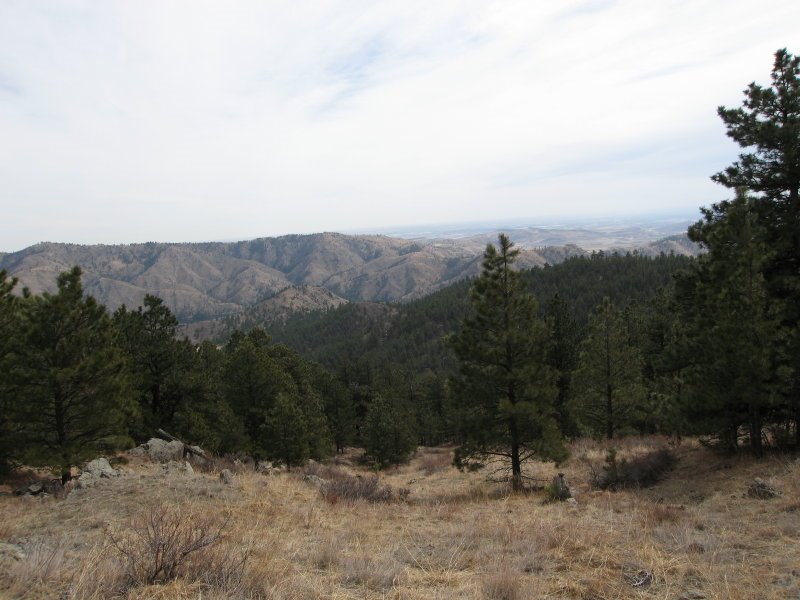
In the picture below, we reached the green ridge in the background (not the brown ridge further in the background) at the right-hand knob. We followed the ridge left, then diagonally (left to right) in the foreground:


The final section of ridge was difficult again. The brush got thicker, the ridge became less distinct, and the trail disappeared for longer periods of time. We also hit occasional patches of snow. I intentionally walked through them, leaving tracks to help us navigate on the return trip.

Bruce, a forest biologist by training, pointed out mistletoe growing on trees. I had never seen it before, so I thought it was really cool.


We finally emerged at the regular hiking trail, right at the base of the main peak. We climbed the trail up to the top, to get some great views.


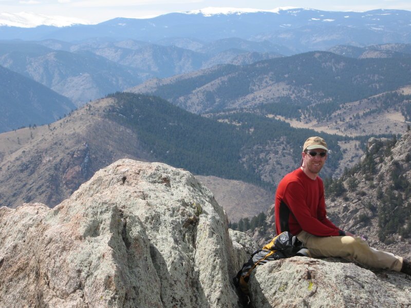
Bruce on the summit


Ladybugs clustered on the summit

The way down was a little easier. We needed a compass to find the correct place to leave our open ridge, and we again lost the trail in the open meadows at the bottom, but by-and-large we knew where we were going.

The hike was almost 13 miles total, but the difficult navigation made it a very rewarding adventure!