Showing posts with label Stillwater Canyon 2006. Show all posts

29 October 2006

Stillwater Canyon Trip, Day 6

Our final day of the trip was pretty relaxing. After breakfast, we broke camp and moved our bags to the beach. We washed the thick Colorado mud out of the canoes and kayak, and settled in to await the arrival of our jetboat.


Football on the beach after chores were finished


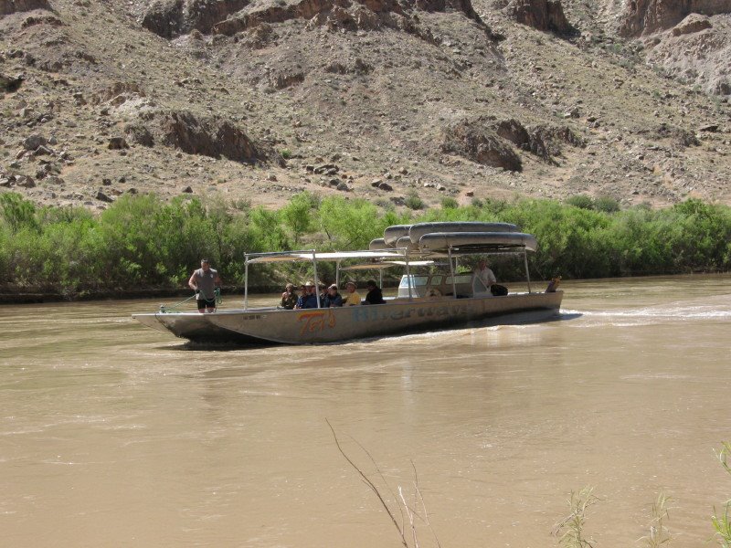
Jetboat arrival

The jetboat was our way back to Moab. They loaded canoes, gear, and people from our group and several other groups. Then we motored up the Colorado river. The boat moved fast enough that in the hot desert sun I put on long pants, a fleece, and a windbreaker. I felt disconnected from the landscape as the shoreline zoomed by.
Traveling by Jetboat

When we arrived at the Potash dock, there was a school bus waiting for us. The jetboat drove itself up onto a trailer, where it was pulled by the cab of a 18-wheeler back into town. We collected our gear, said our goodbyes, and began the long drive back to Fort Collins.

It only took 6 months, but this concludes my series of blog postings about my Stillwater Canyon trip from last May. Posted by Picasa

30 September 2006

Stillwater Canyon Trip, Day 5

Today would be our last day in the canoes. Our destination was Spanish Bottom, a popular campsite on the Colorado River. The guide told us that finding campsites could often be a problem, so we tried to set out early. A few miles below Spanish Bottom is the start of the Cataract Canyon rapids. Going over these rapids in a canoe would be borderline suicidal.

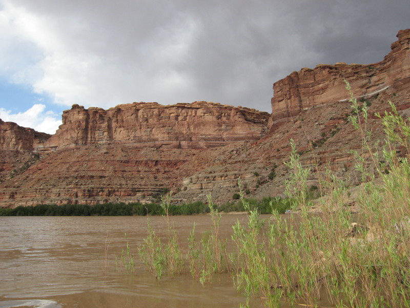
And so we set off, paddling down the Green River to the Confluence with the Colorado. The character of the river changes here. Although the Green River is actually bigger than the Colorado, the joining of the two rivers makes for one very big creek indeed. Life jackets are required by the park service, and for good reason: whirlpools and eddies are everywhere, much more powerful than the placid Green upstream. While not white water per se, the currents were big and powerful, and required almost constant attention.

As you can imagine from the description above, Spanish Bottom is a popular campsite, both with folks floating the Green, and with rafters heading farther down the Colorado. For this reason, there is a campsite registration book about a mile upstream from Spanish Bottom. Landing here to sign the book was the most difficult part of the entire trip. The current, a strategically placed rock, high water, and a steep bank made landing almost impossible. Kevin and I took three tries before I was finally able to land, and even then he had to stay in the boat to keep the canoe from floating downstream. But sign in we did, and not long after that we beached the canoes at Spanish Bottom.

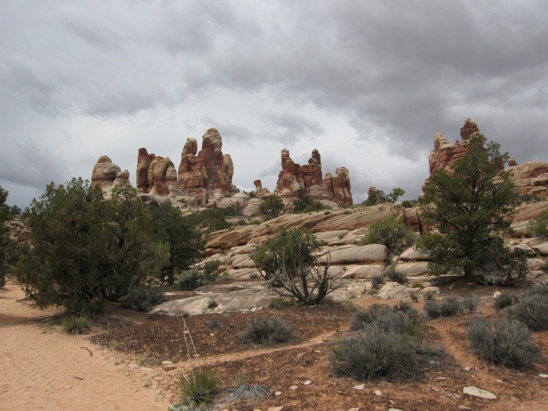
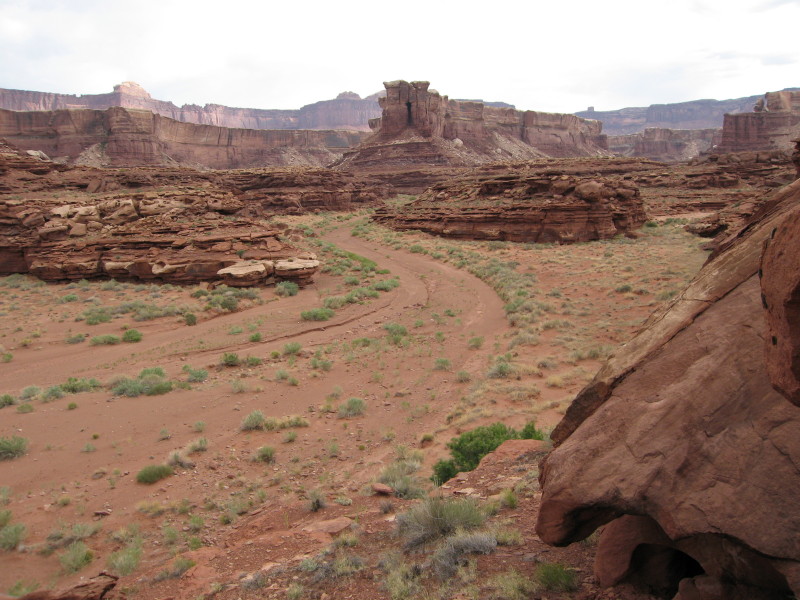
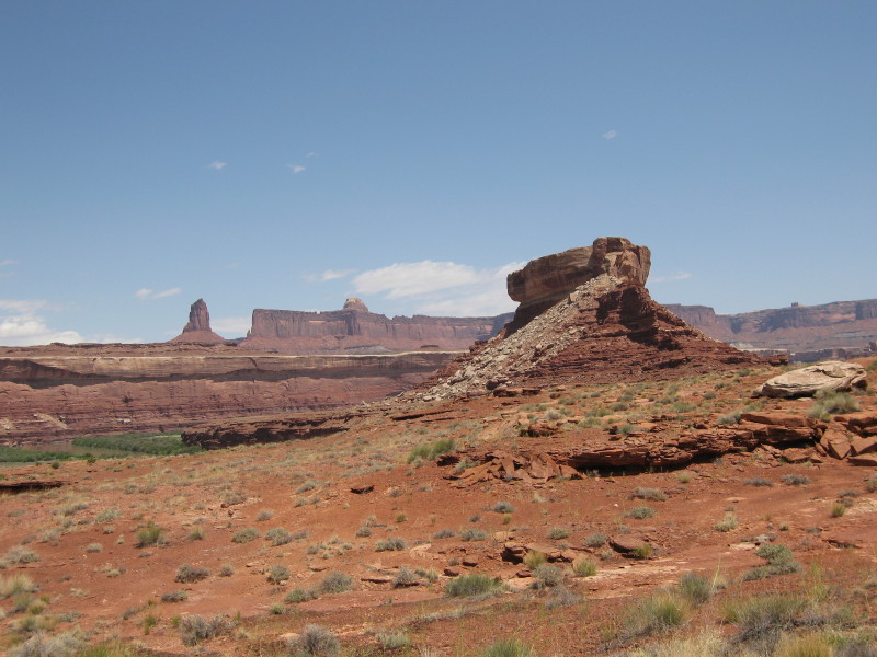
After setting up our tents, we headed off for the biggest day hike of our trip. Spanish Bottom provides access to The Maze, a district of Canyonlands National Park that can otherwise only be reached by 50 miles of 4WD roads. In particular, a steep climb up from the river provides access to The Dollhouse, a region of sandstone pinnacles, geologically similar to The Needles on the other side of the river.

Kevin and Dave hike up to the Dollhouse


The Dollhouse

We spent the day hiking around, scrambling on sandstone rock formations, enjoying slickrock expanses, sandy washes, and great views all around.

The Dollhouse

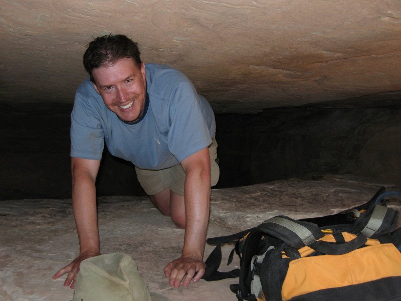
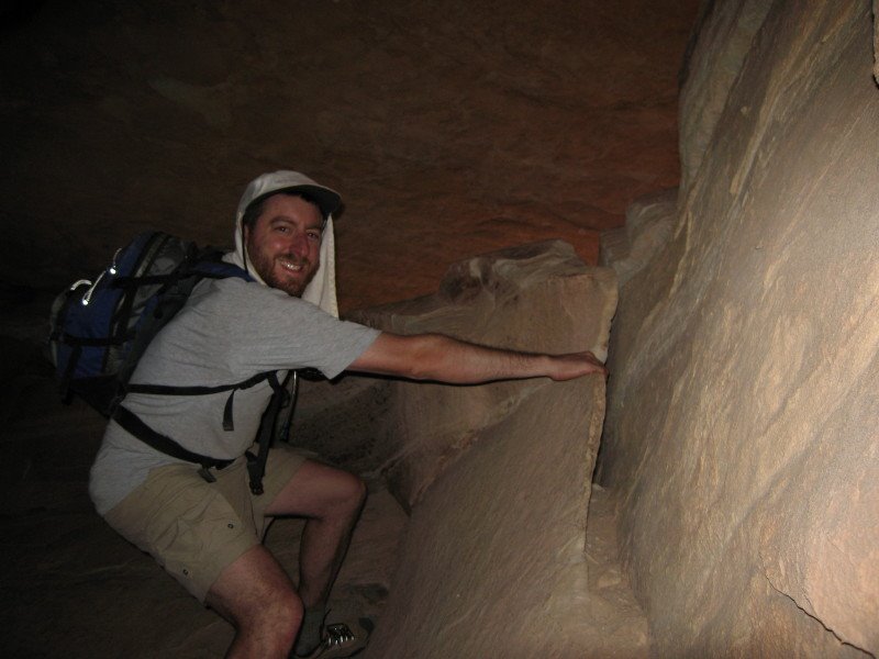
One really nice area was a “joint”- a fissure between the rocks that was as tall and narrow as any slot canyon.


Mark


Me


Paul in a narrow section

The hike concluded with a side trip to the Surprise Valley overlook and the ruins of a granary from a long ago tribe of Native Americans. Our last evening on the river ended with a spectacular moonrise over the canyon walls, and the draining of our remaining alcohol supplies…

Moonrise over the Colorado River

29 July 2006

Stillwater Canyon Trip, Day 4

We started off the day by cooking our “big breakfast”. This all seemed like a good idea back in Moab, but bacon and eggs ended up taking just too long to cook. And cleaning the eggs out of the pan was a tough way to start the day. So we got started late, but we were well-fueled at least.


Our flotilla didn’t stay together for long. Kevin and I spotted a side canyon that looked interesting. Paul, riding in the kayak, was able to motor upstream a short distance and join us, but Dave and Mark continued downstream. Soda Springs Canyon, mentioned by Edward Abbey in Down the River, had another inlet that we could paddle up. We were pleasantly surprised to find an egret at the end of the canyon. We beached the boats, grabbed our cameras and started to hike up this pleasant canyon.

It was fairly wide, but light clouds overhead kept it cool. We walked up a number of twists and turns, and then found a spot to climb up on top. The bands of crumbling Organ Pipe Shale made climbing pretty easy, and while I hoped to see the river, I got some dramatic views of Turk’s Head, a rock formation downstream.

Back at the boats, we paddled downstream, hoping to find our missing companions. We found their boat a short distance downstream, near where we wanted to land anyway. We set out again on a trail leading downstream. One scenic area we were awaiting later in the trip was the Dollhouse, a set of rock formations in the Maze district. Here we found a dollhouse of another kind, an alcove filled with tiny “ruins” and rock art. I’m sure it started with one person, but at this point there were dozens of dollhouse-sized ruins tucked into the rock walls. Pretty fun. The hike up through the Organ Pipe was more difficult this time, with one pretty dicey section

Once past that section, we arrived on a plateau with Turk’s Head ahead of us. We met up with Dave and Mark a few minutes either, and the 5 of us undertook a circumnavigation of Turk’s Head. It was a fun hike, but our ultimate destination, a set of rock art called the “boulderglyph” eluded us. There’s actually a lot of other things to see up on this plateau, including some ruins, so I’ll have to go back.

Back at the river, Dave and Mark again paddled ahead, and we again explored another side canyon. This one was pretty short, but fairly dramatic. I’ve been struggled about what to write here. I’m going to try, but it will probably come out as corny or superficial. In this canyon, the rhythm of making and breaking camp, the hikes in the blazing sun, the tranquility of floating down the river, the soreness in my muscles, and the overwhelming always-changing panoramas, suddenly became almost too beautiful to bear. The happiness that had been building in me for the past few days suddenly roared into a crescendo of joy. I threw my arms in the air and shouted with ecstasy. The passion of being alive, the thrill of each and every breath, the happiness of simply being ALIVE, just completely filled me. This happened two months ago, and while the occasional drudgery of day-to-day existence still sometimes gets me down, the memory of this pure crystalline moment, a pure existential moment of Nirvana in a nameless, otherwise insignificant side canyon, remains with me as the highlight of the trip. Years from now, if I remember nothing else from this trip, I will remember this moment.

One of the scarier sections of the trip occurred later in the day as we paddled downstream. At this point I was paddling with Paul, and Kevin was ahead of us in the kayak. Storm clouds had gathered overhead, and rain was threatening. Out of nowhere, we suddenly saw a gust of wind blowing upstream. It hit Kevin in the kayak a few hundred feet ahead of us, and his kayak instantly spun around. I had about half a second to slide down from my seat in the canoe into a more stable kneeling position and start paddling like mad. The wind hit us head on, and suddenly we were engulfed in swirling whitecaps. Keeping the canoe facing into the wind, and not going sideways, was suddenly both extremely difficult and absolutely essential. We paddled as hard as we could, angling for the shore, as wind whipped up and rain splattered against us. When we made it, we looked back to see the other two boats doing the same thing. The wind left as quickly as it came, and a few minutes later the incident was over.

It was pretty late and people were tired when we found a campsite at the mouth of Water Canyon. I found a few tentsites, and then set out to explore a little more of the canyon under the pretext of looking for additional camps.

I spontaneously broke out in a run, again overcome with joy, and jogged until the cactus density on the sides of the narrow path reached critical mass, and the realization that I was wearing sandals convinced me to be more cautious. I found a series of ruins up in the canyon, and reluctantly turned around at this point. We later found out that you could hike up and out of Water Canyon and up into the maze. Another hike for a future trip…

On my first desert trip, I wore a Commonwealth Brewery t-shirt that Mark had given to me as a gift. A few hours after that trip started, it was stained brown in the muddy pools of the Buckskin gulch. I have worn my “desert shirt” on each and every desert backpack and day hike since then (and usually every day of those trips). As this trip went on, I added another tear in the now paper-thin fabric every time I took it on or off. The shirt has served me well, and we’ve been through a lot together, but at last I realized there wasn’t enough fabric left on the shoulders to hold it together for even one more day. With extreme reluctance, my desert hiking shirt was finally retired at Water Canyon camp. Goodbye, old friend.

08 July 2006

Stillwater Canyon Trip, Day 3

We awoke the next morning keenly aware that we had lollygagged pretty badly the day before, and we had some lost ground to make up. We loaded up the boats and paddled out Horsethief canyon and to the main current.

This time we actually used our paddles, which certainly got us moving a bit faster. Of course, we didn’t go that far before we had to land and do some more exploring. At a large bend in the river was an old cabin, inhabited a century ago by some lonely soul.

After checking it out, we enjoyed the steep climb to a tall rock rib a few hundred feet above the cabin, crowned with an old Native American ruin. The view for miles up and down the river inspired us to return to the boats and continue the paddle.
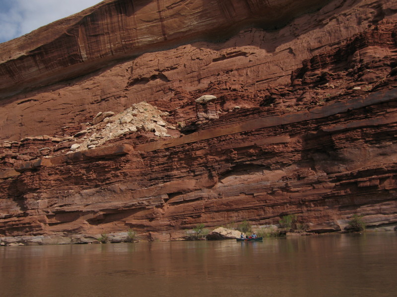
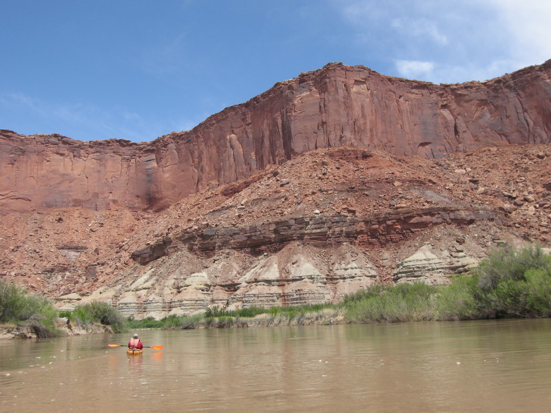
It was several miles around the bend and down a long straight section before the river again began to twist and turn. More interesting to me is that the Moenkopi layer gave way to the white sandstone of the White Rim formation. This formation has formed a large flat plateau in the Island in the Sky district of Canyonlands, and is traversed by the famous White Rim road. From our perspective at river level, sheer white cliffs rose out of the banks of the river- at first only a few feet high, but eventually towering overhead. (Incidentally, Canyonlands National Park has an outstanding Interactive Geologic Atlas available on the web).

Green River meets White Rim

The White Rim formation is very resistant, but comparatively not very thick, and we soon reached the Organ Rock Shale, a very layer of red mudstone, sandstone, and shale. Our river descent took us to Anderson Bottom, an abandoned meander. An abandoned meander, also called a Rincon, is originally formed by a loop in the canyon. Over the millennium, the river gradually cuts away at the inside edges of the loop, until it eventually breaks through. At that point, the river takes the shortcut, and a curved section of canyon is left high and dry. This one had some secrets awaiting for us.

We had heard of a slot canyon up this meander, so we started on a long hot walk across the dusty red sand. It was pretty much a slog, but we could see ourselves getting closer to a side canyon up ahead. As we went up the side canyon, we again met our friend the White Rim sandstone. A less resistant rock layer would have created a wide side canyon, but this was hardier rock, and the canyon was correspondingly smaller. Much smaller. You could reach out with your arms and touch the sides. At one point we hit a pour-off and we were stopped in our tracks. We tried a lot of different ways to climb up, but eventually had to settle for the “human ladder” approach of linking hands and forming a foothold for the others.

Past the pour off the canyon narrowed even more. We were forced to retreat when we hit a second pour-off, but it was definitely worth the side trip.

The canyon had still more secrets awaiting us. Dave and I did another short hike and found a collection of petroglyphs.

Back at the river, we added a few more miles, finding a very nice campsite on a bench above the river. We ended the day with grilled steak and potatoes, plus the obligatory whiskey.

14 June 2006

Stillwater Canyon Trip, Day 2

As we pulled into the parking lot at Tex’s Riverways, our greatest concern was that we had too much gear to fit in 2 canoes and a kayak. It sure looked like a lot of stuff! As expected, though, the guides told us that they were pretty good at eye-balling a pile of stuff and telling if it would fit, and nobody freaked when they saw our gear pile.

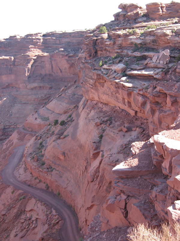
The five of us and two other parties loaded our gear onto an old school bus pulling a trailer of boats and more gear. We drove north from Moab and into the Island of the Sky district of Canyonlands National Park. It seemed like forever driving across the flat featureless plateau, when finally the bus stopped. “You can stay in the bus if you have bad knees, but I’d prefer if everyone gets out and walks this next section. This is an old bus, and the brakes aren’t as new as they used to be.” No argument from us.


"No, I don't mind walking"

It was a nice scenic hike down through the tall walls of Windgate sandstone and into the mine-pocketed Moenkopi. (Get used to it- I’m a geology buff). The bus waited for us at the end of the hill, and drove us the rest of the way down to the river.


At the River

Our driver, Sean, helped us unload the canoes, and then we began the process of trying to figure out where everything would fit. He was an excellent guide- he sat down with everyone and walked us down a map of the river- showing us campsites, ruins, pictographs, and other things to watch out for. He even showed us how to use the portable chemical toilet!

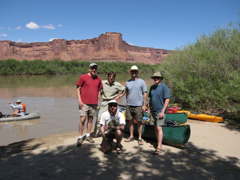
Here’s the necessary “Before” picture for trips of this kind:

Back Row, L to R: Dave, Paul, Kevin, Mark (trip leader). Front: Me

And then we were off on our grand adventure! For the first few hours we simply floated, letting the strong current carry us along. We marveled at the canyon walls, the birds, the water, and just sat there. It was a very relaxing experience.

Paul doing absolutely nothing

It was afternoon when we found the inlet to Horsethief Canyon- the first side hike on the trip. This was pretty fun. At low water you would just park your boat on the main beach and hike in. But the water level was extremely high, and there were precious few beaches to be found. Instead we paddled, poled, pushed, and pulled our boats up a shallow water-filled channel. It felt to me like we were traveling through some kind of African Queen-type jungle.


Dave and Kevin: "Is that a piranha biting my foot?"

When the channel finally ended, we left the boats behind and started our hike up Horsethief canyon. There was no real trail; we just hiked up the dry riverbed. I was pretty shocked to find water up in the canyon- albeit salty, nasty looking water that I wouldn’t actually want to drink. Our hike was a total of almost 6 miles, to a side canyon with a tall overhanging alcove and a small waterfall. It was a pretty great re-introduction to canyon country.


Horsethief Canyon

Back at the boats, someone made the mistake of looking at a watch. It was about 6:30 and time to camp. The disadvantage of not paddling became apparent, as a quick glance at the map told us we had traveled about 6 miles. 49 to go...

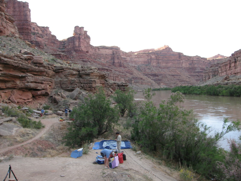
Luckily, there was a great old Cottonwood tree right next to our boats with a great beach underneath. We set up camp while Kevin cooked up dinner- Grilled Salmon fillets with rice. You eat much better canoe camping than backpacking, that’s for sure. The evening gave us great sunsets and fleets of swarming bats to keep the bugs away. A wonderful way to end our first day.

20 May 2006

Stillwater Canyon Trip, Day 1

I've been spending too much time having adventures than writing about them, so I'm a bit behind. I have 5 more days of Austria to write about, and I just finished a 6 day trip in Canyonlands National Park. I'll try my best to write about them in tandem, but another backpack is planned for next weekend...

This particular trip was planned by my friend Mark Sigda. There were five of us: myself, Mark, Dave Johnson, Kevin McNinch, and Paul Jeffrey. Our trip was a flatwater canoe trip down the Green River- 55 miles through Canyonlands National Park.

All photos were taken with my Canon PowerShot S80 digital camera. This is the first major trip that I've shot completely with digital.

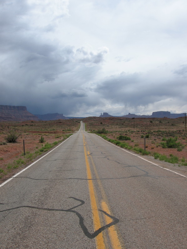
The first day was simply a drive to Moab with our two car caravan. We checked into our hotel, went grocery shopping, and then ate dinner and drank alot of beer. The next morning came early.... (to be continued)


The Road to Moab