
19 July 2006

17 July 2006
09 July 2006
Visit to Oregon
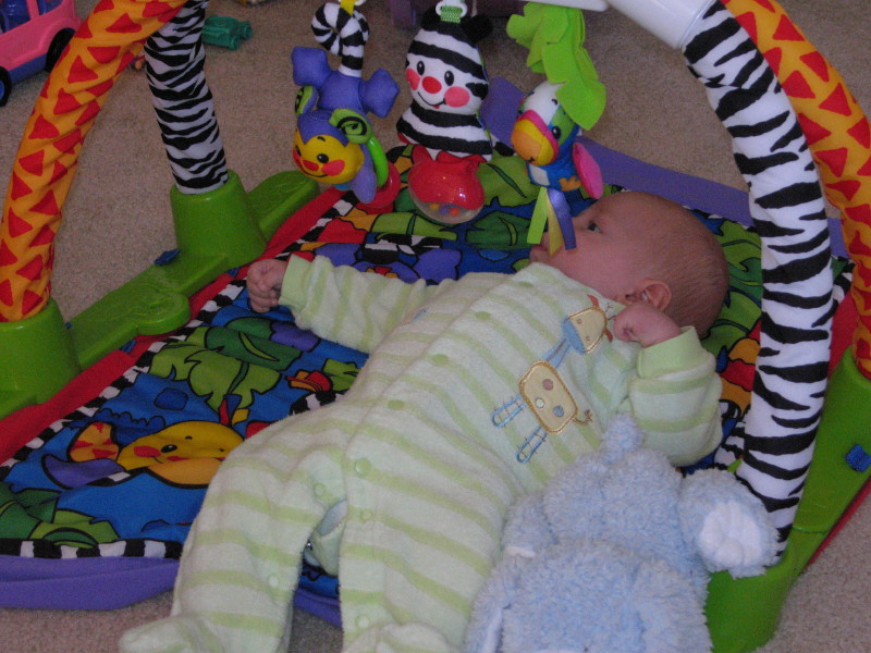
My new nephew Jack

Having found some extra cash (in Rich's wallet), Emma e-mails her broker on her Blackberry
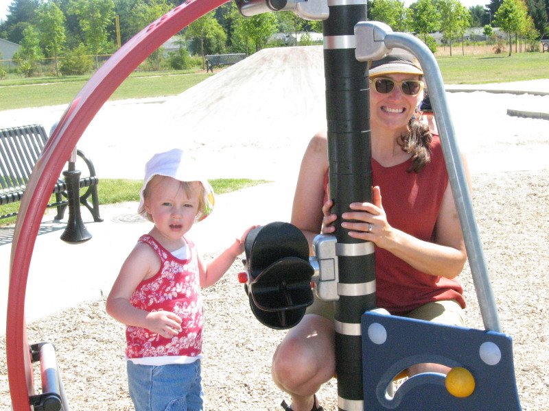
Emma and Dorinna playing in the P-A-R-K
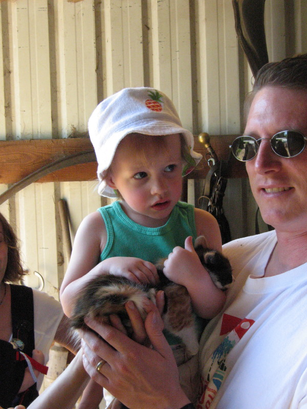
Emma holds her first kitten. We took a day trip down to Salem to visit our friend Mark, who is staying with some friends on an organic chicken farm.
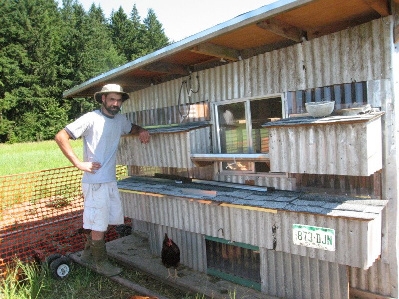
Mark and his hand-made chicken coop
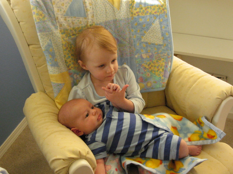
Jack and Emma
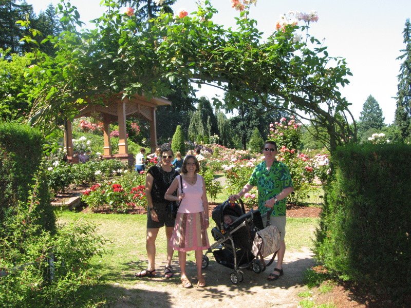
Dorinna, Jen, Jack, and John in the Portland Rose Garden
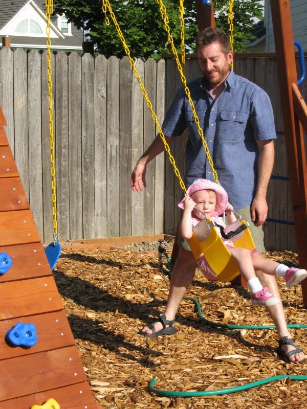
Uncle Rich giving Emma a "Big Push"
08 July 2006
Stillwater Canyon Trip, Day 3
We awoke the next morning keenly aware that we had lollygagged pretty badly the day before, and we had some lost ground to make up. We loaded up the boats and paddled out Horsethief canyon and to the main current.
This time we actually used our paddles, which certainly got us moving a bit faster. Of course, we didn’t go that far before we had to land and do some more exploring. At a large bend in the river was an old cabin, inhabited a century ago by some lonely soul.
After checking it out, we enjoyed the steep climb to a tall rock rib a few hundred feet above the cabin, crowned with an old Native American ruin. The view for miles up and down the river inspired us to return to the boats and continue the paddle.
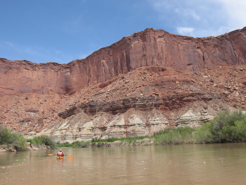
It was several miles around the bend and down a long straight section before the river again began to twist and turn. More interesting to me is that the Moenkopi layer gave way to the white sandstone of the White Rim formation. This formation has formed a large flat plateau in the Island in the Sky district of Canyonlands, and is traversed by the famous White Rim road. From our perspective at river level, sheer white cliffs rose out of the banks of the river- at first only a few feet high, but eventually towering overhead. (Incidentally, Canyonlands National Park has an outstanding Interactive Geologic Atlas available on the web).
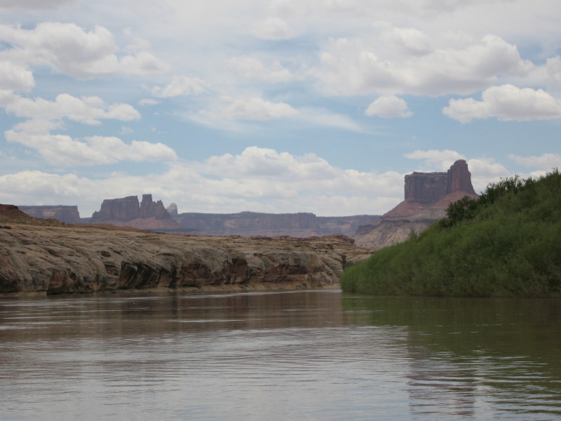
Green River meets White Rim
The White Rim formation is very resistant, but comparatively not very thick, and we soon reached the Organ Rock Shale, a very layer of red mudstone, sandstone, and shale. Our river descent took us to Anderson Bottom, an abandoned meander. An abandoned meander, also called a Rincon, is originally formed by a loop in the canyon. Over the millennium, the river gradually cuts away at the inside edges of the loop, until it eventually breaks through. At that point, the river takes the shortcut, and a curved section of canyon is left high and dry. This one had some secrets awaiting for us.
We had heard of a slot canyon up this meander, so we started on a long hot walk across the dusty red sand. It was pretty much a slog, but we could see ourselves getting closer to a side canyon up ahead. As we went up the side canyon, we again met our friend the White Rim sandstone. A less resistant rock layer would have created a wide side canyon, but this was hardier rock, and the canyon was correspondingly smaller. Much smaller. You could reach out with your arms and touch the sides. At one point we hit a pour-off and we were stopped in our tracks. We tried a lot of different ways to climb up, but eventually had to settle for the “human ladder” approach of linking hands and forming a foothold for the others.
Past the pour off the canyon narrowed even more. We were forced to retreat when we hit a second pour-off, but it was definitely worth the side trip.

The canyon had still more secrets awaiting us. Dave and I did another short hike and found a collection of petroglyphs.

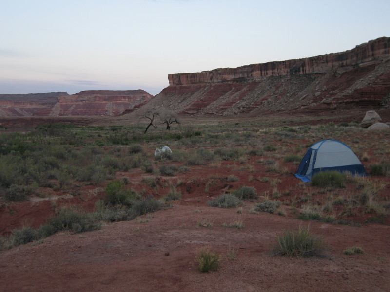
Back at the river, we added a few more miles, finding a very nice campsite on a bench above the river. We ended the day with grilled steak and potatoes, plus the obligatory whiskey.
22 June 2006
Browns Lake Backpack
This time Dorinna and I were joined by Kevin and his dog Sky. Browns Lake is located in the Comanche Peak Wilderness, south of Poudre Canyon. The hike to get there goes above treeline, passing near the summit of Crown Point, before dropping back down into the valley that holds Browns Lake. We got there in time to snag a great campsite with a fantastic view. Being perched behind a row of trees wasn't enough- the most memorable thing about the trip was the gale force wind that constantly blew through camp. The wind was so fierce that the sounds of the tent flapping (and lifting up into the air) kept me awake for much of the night.
The hike in to the lake is only 4 miles, but we added on some side trips. On Saturday, Kevin, Sky, and I bushwhacked to the top of a peak just west of the lake. Up the north side, and down the south side. On Sunday, all of us did some exploring of a few small peaks above treeline off the Flowers trail. There was enough above-treeline walking to keep everybody interested (and my ears burning in the sun).

View from Crown Point- peaks in the background are the Rawahs
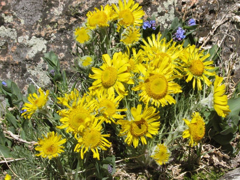
Old Man of the Mountains - a kind of alpine sunflower
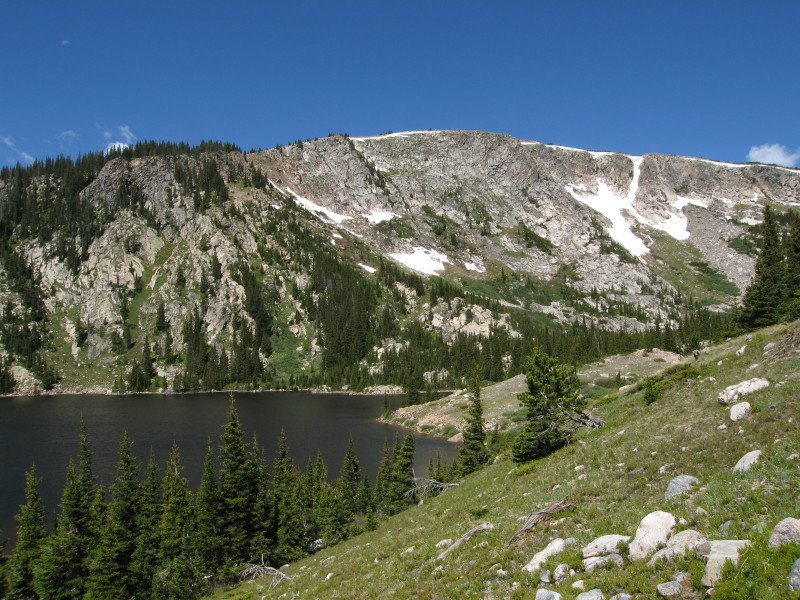
Browns Lake
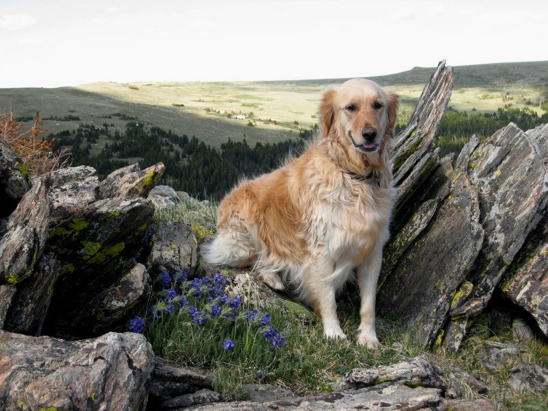
Sky poses on top of Browns Lake Peak (note: She wasn't looking at the camera for the other 17 pictures)
21 June 2006
12 Byzantine Rulers
I started listening as we are planning a vacation to the Balkans later this year, and wanted some background on the history of these countries. However, I recommend this series to anyone with an interest in European history.

If you've never listened to a podcast before, you can subscribe to one via iTunes or other podcast players, but you can also just download individual episodes from the web site and listen on your computer.
Public Service Announcement
Portugese red table wine does NOT contain enough alcohol to act as a solvent.
It DOES contain enough alcohol to put you in a position to SuperGlue something to your finger.
This has been a public service announcement.
16 June 2006
Packing Light
-- The catalogs are full of wrinkle-free travel clothes, but you can skip these if you've spent your adult life, as I have, carefully cultivating a rumpled look.
The web site has additional links to related articles.
Dorinna and I are planning on taking only carry-on luggage for our two week trip to Europe later this year.
14 June 2006
Stillwater Canyon Trip, Day 2
As we pulled into the parking lot at Tex’s Riverways, our greatest concern was that we had too much gear to fit in 2 canoes and a kayak. It sure looked like a lot of stuff! As expected, though, the guides told us that they were pretty good at eye-balling a pile of stuff and telling if it would fit, and nobody freaked when they saw our gear pile.
The five of us and two other parties loaded our gear onto an old school bus pulling a trailer of boats and more gear. We drove north from Moab and into the Island of the Sky district of Canyonlands National Park. It seemed like forever driving across the flat featureless plateau, when finally the bus stopped. “You can stay in the bus if you have bad knees, but I’d prefer if everyone gets out and walks this next section. This is an old bus, and the brakes aren’t as new as they used to be.” No argument from us.
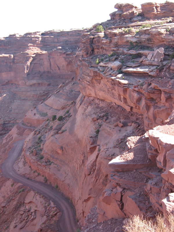
"No, I don't mind walking"
It was a nice scenic hike down through the tall walls of Windgate sandstone and into the mine-pocketed Moenkopi. (Get used to it- I’m a geology buff). The bus waited for us at the end of the hill, and drove us the rest of the way down to the river.

At the River
Our driver, Sean, helped us unload the canoes, and then we began the process of trying to figure out where everything would fit. He was an excellent guide- he sat down with everyone and walked us down a map of the river- showing us campsites, ruins, pictographs, and other things to watch out for. He even showed us how to use the portable chemical toilet!
Here’s the necessary “Before” picture for trips of this kind: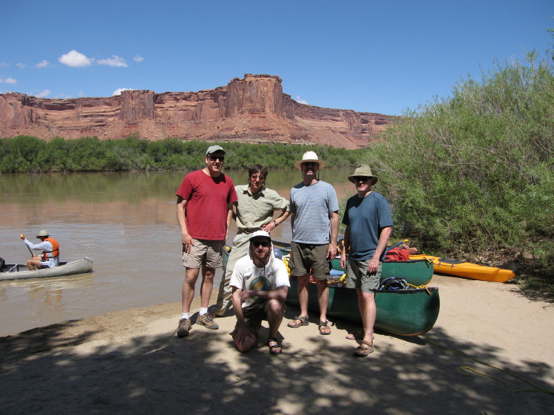
Back Row, L to R: Dave, Paul, Kevin, Mark (trip leader). Front: Me
And then we were off on our grand adventure! For the first few hours we simply floated, letting the strong current carry us along. We marveled at the canyon walls, the birds, the water, and just sat there. It was a very relaxing experience.

Paul doing absolutely nothing
It was afternoon when we found the inlet to Horsethief Canyon- the first side hike on the trip. This was pretty fun. At low water you would just park your boat on the main beach and hike in. But the water level was extremely high, and there were precious few beaches to be found. Instead we paddled, poled, pushed, and pulled our boats up a shallow water-filled channel. It felt to me like we were traveling through some kind of African Queen-type jungle.

Dave and Kevin: "Is that a piranha biting my foot?"
When the channel finally ended, we left the boats behind and started our hike up Horsethief canyon. There was no real trail; we just hiked up the dry riverbed. I was pretty shocked to find water up in the canyon- albeit salty, nasty looking water that I wouldn’t actually want to drink. Our hike was a total of almost 6 miles, to a side canyon with a tall overhanging alcove and a small waterfall. It was a pretty great re-introduction to canyon country.

Horsethief Canyon
Back at the boats, someone made the mistake of looking at a watch. It was about 6:30 and time to camp. The disadvantage of not paddling became apparent, as a quick glance at the map told us we had traveled about 6 miles. 49 to go...
Luckily, there was a great old Cottonwood tree right next to our boats with a great beach underneath. We set up camp while Kevin cooked up dinner- Grilled Salmon fillets with rice. You eat much better canoe camping than backpacking, that’s for sure. The evening gave us great sunsets and fleets of swarming bats to keep the bugs away. A wonderful way to end our first day.
11 June 2006
Fish Creek Backpack
Dorinna and I wanted a short backpack close to home- just something to get out of the house. We decided on the Fish Creek trail, right on Pingree Park road. We left the house at 3:00 on Saturday afternoon, and returned at about the same time on Sunday. In between, we enjoyed a hike through Aspen glades, pine forests, and open Ponderosa meadows. We hiked in not quite 3 miles on Saturday, climbing over a small ridge and down to Fish Creek. We found a great meadow, set up camp, cooked dinner and enjoyed a restful night. The moonrise was simply lovely. In the morning, we had a leisurely breakfast, and then day-hiked a few miles down Fish Creek, before returning to camp to head home. It rained when we were putting on our boots at the start of the trip, but then it immediately cleared up, and stayed that way for the rest of the trip. Certainly a cooler place to spend the night than down in the city!

Dorinna at camp